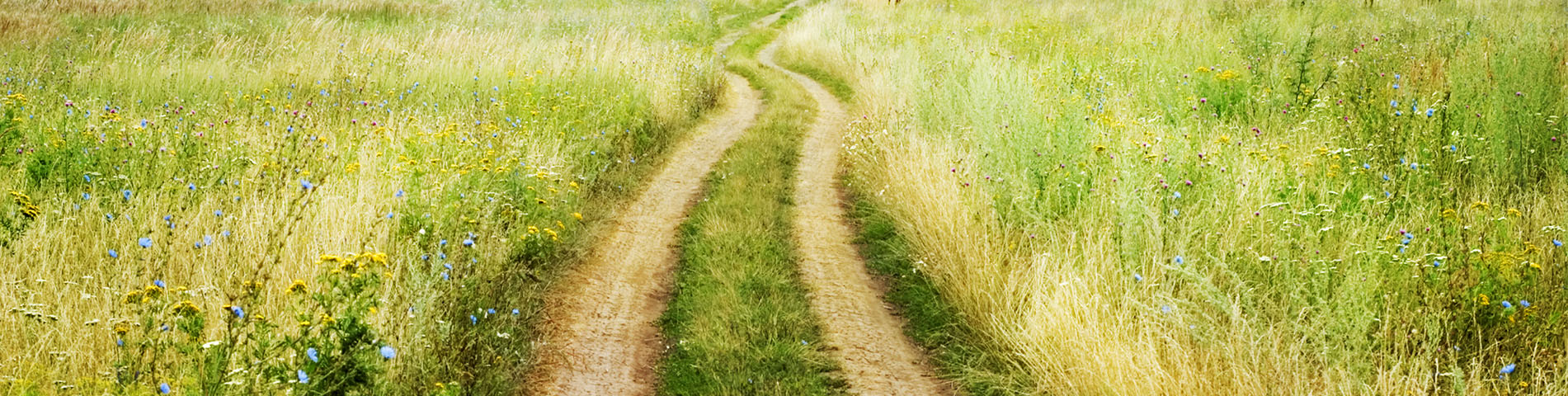
The Arles Way, or Via Tolosana, is the southernmost of the four historic pilgrimage routes across France to Santiago de Compostela. Stretching approximately 950 kilometres from Arles in Provence to Puente la Reina in Navarra, it passes through some of the most celebrated landscapes and cities of southern France: the Camargue wetlands, Montpellier, the medieval village of Saint-Guilhem-le-Désert, Toulouse, the rolling hills of Gascony and the high passes of the Pyrenees. Less crowded than the Le Puy Way, the Via Tolosana appeals to walkers who love Romanesque architecture, Mediterranean light and a rich diversity of terrain.
Key features of the Arles Way
- Official name: Chemin d'Arles / Via Tolosana
- Trail marking: GR 653
- Total distance: approximately 950 km
- Number of stages: 39
- Number of sections: 6
- Recommended season: spring, summer and autumn (April to October)
- Difficulty: Level 2 to 3, depending on the section (on average 5 to 6 hours of walking per day, with some stages exceeding 25 km and involving 600 to 800 m of cumulative elevation gain)
- Main sections: Arles to Lodève / Lodève to Castres / Castres to Toulouse / Toulouse to Maubourguet / Maubourguet to Urdos / Urdos to Puente la Reina
- Recommended starting section: Arles to Lodève (6 stages, 8 days)
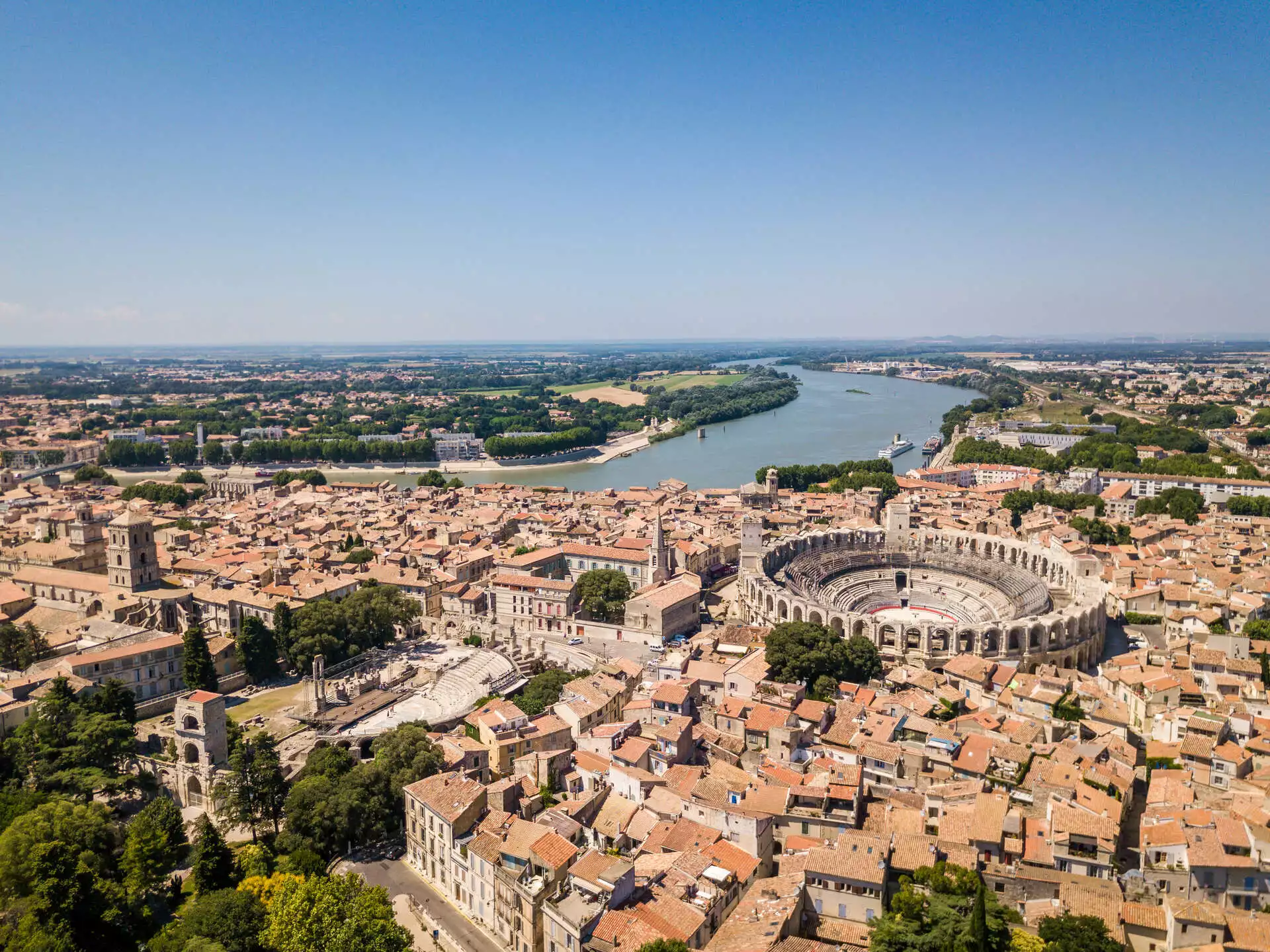
- Key points of interest: Arles (Roman amphitheatre, Cloister of Saint-Trophime), Abbey of Saint-Gilles du Gard (UNESCO World Heritage), Montpellier (historic centre, Place de la Comédie, Saint-Pierre Cathedral), Saint-Guilhem-le-Désert (one of the Most Beautiful Villages of France, Abbey of Gellone, UNESCO World Heritage), the Hérault Gorges, Toulouse (Basilica of Saint-Sernin, UNESCO World Heritage; Convent of the Jacobins; Place du Capitole), Auch (historic capital of Gascony, monumental stairway and Sainte-Marie Cathedral, UNESCO), and Saint-Jean-Pied-de-Port (Porte Saint-Jacques and citadel, gateway to the Pyrenees)
- Regions crossed: Bouches-du-Rhône, Gard, Hérault, Tarn, Haute-Garonne, Gers, Hautes-Pyrénées, Pyrénées-Atlantiques, Aragon, Navarra
Overview of the Arles Way route
The Via Tolosana, or Arles Way, is one of the great historic pilgrim routes of Europe. From the Roman city of Arles, the trail heads west through the Camargue, crosses the Languedoc vineyards and climbs through the forested hills of the Haut-Languedoc Natural Park before reaching the cities of Castres and Toulouse. Beyond Toulouse, the route enters Gascony, passing through Auch and Marciac, before turning south towards the Pyrenees. The final section crosses the mountains via the Col du Somport into Aragon and continues through the historic towns of Jaca and Sangüesa before arriving at Puente la Reina, where it meets the Camino Francés.
Along the way, the Arles Way passes through an extraordinary variety of landscapes: Provençal plains, Mediterranean garrigue, mountain forests, the gentle farmland of the Gers and the high peaks of the Pyrenees. The cultural heritage is equally rich, with Roman monuments, Romanesque churches, medieval villages, UNESCO World Heritage sites and lively market towns. This is a route for walkers who enjoy long days, varied terrain and a deep immersion in French and Spanish history and culture.
Arles Way stages
Arles to Lodève
The opening section of the Arles Way takes you from the Roman city of Arles through the Camargue wetlands to the Abbey of Saint-Gilles du Gard (a UNESCO World Heritage Site). The trail then passes through Montpellier before reaching Saint-Guilhem-le-Désert, a stunning medieval village nestled in a rocky cirque and home to the Abbey of Gellone (also UNESCO-listed). The section ends at Lodève, on the edge of the Larzac plateau.
| From | To | Distance |
|---|---|---|
| Arles | Saint-Gilles du Gard | 20.5 km |
| Saint-Gilles du Gard | Vauvert | 17 km |
| Montpellier | Montarnaud | 15 or 21 km |
| Montarnaud | Saint-Guilhem-le-Désert | 22 km |
| Saint-Guilhem-le-Désert | Saint-Jean-de-la-Blaquière | 23 km |
| Saint-Jean-de-la-Blaquière | Lodève | 14 km |
Total Distance : 111,5 km
Lodève to Castres
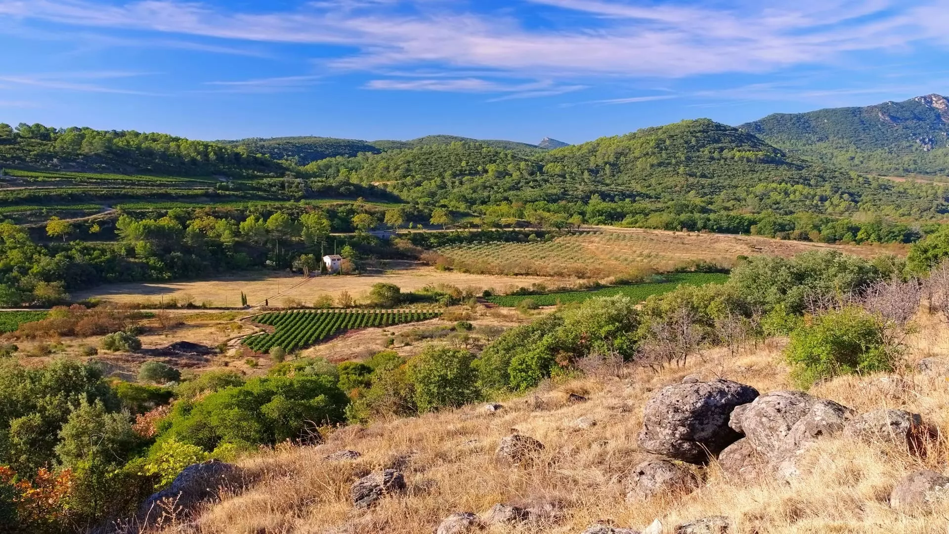
Leaving Lodève, the trail enters the wooded hills of the Haut-Languedoc Natural Park. This is the most physically demanding section of the Arles Way, with sustained climbs, deep valleys and forest paths. The terrain is varied and the countryside feels remote. The section ends at Castres, a graceful town on the banks of the Agout.
| From | To | Distance |
|---|---|---|
| Lodève | Joncels | 23.5 km |
| Joncels | Saint-Gervais-sur-Mare | 32 km |
| Saint-Gervais-sur-Mare | Murat-sur-Vèbre | 24 km |
| Murat-sur-Vèbre | La Salvetat-sur-Agout | 21 km |
| La Salvetat-sur-Agout | Le Reclot | 30 km |
| Le Reclot | Noilhac | 16.5 km |
| Noilhac | Castres | 12 km |
Total Distance : 159 km
Castres to Toulouse
Total Distance : 142 km
Toulouse to Maubourguet
Total Distance : 166 km
Maubourguet to Urdos
The trail now turns towards the Pyrenees. From Maubourguet, you walk through the Béarn countryside to Oloron-Sainte-Marie and then into the Aspe Valley, one of the last great unspoilt valleys in the French Pyrenees. The mountains grow larger with every stage, and the trail ends at Urdos, the last village before the crossing into Spain.
| From | To | Distance |
|---|---|---|
| Maubourguet | Anoye | 23 km |
| Anoye | Morlaàs | 16 km |
| Morlaàs | Artiguelouve | 25 km |
| Artiguelouve | Oloron-Sainte-Marie | 28.3 km |
| Oloron-Sainte-Marie | Accous | 33 km |
| Accous | Urdos | 16 km |
Total Distance : 141,3 km
Urdos to Puente la Reina
The final section of the Arles Way crosses the Pyrenees via the Col du Somport (1,632 m), the historic pass used by pilgrims for centuries. On the Spanish side, the trail descends into Aragon, passing through Canfranc and the handsome cathedral city of Jaca. It then continues through the pre-Pyrenean hills, past the Monastery of San Juan de la Peña and through Sangüesa and Monreal, before reaching Puente la Reina, where the Arles Way joins the Camino Francés.
| From | To | Distance |
|---|---|---|
| Urdos | Canfranc | 17 km |
| Canfranc | Jaca | 26 km |
| Jaca | Santa Cruz de la Serós | 29 km |
| Santa Cruz de la Serós | Artieda | 33.5 km |
| Artieda | Sangüesa | 31 km |
| Sangüesa | Monreal | 27 km |
| Monreal | Puente la Reina | 31 km |
Total Distance : 194,5 km
Tips for planning your walk on the Arles Way
Best time to go
You can walk the Arles Way on any date you choose between April and October. Here are a few seasonal tips:
- In spring (April and May), wildflowers cover the Provençal plains and temperatures are mild, ideal for comfortable walking without the summer heat.
- In summer (June to August), the climate is hot, particularly in the Camargue and Languedoc. Setting off early in the morning is essential. By late August, the villages are still lively with markets and local festivals.
- In autumn (September and October), the trail takes on golden and red tones, temperatures are pleasant and walkers are fewer. This is one of the finest periods for the Arles Way.
The most challenging stages
The section between Lodève and Castres is the most demanding on the Arles Way, combining significant elevation gain, long distances and varied terrain through the Haut-Languedoc Natural Park.
- Lodève to Joncels (23.5 km) and Joncels to Saint-Gervais-sur-Mare (32 km): these stages cross the regional park, with wooded valleys and sustained climbs.
- Saint-Gervais-sur-Mare to Murat-sur-Vèbre (24 km): varied terrain with forest paths and rocky sections, and considerable elevation gain.
- Murat-sur-Vèbre to La Salvetat-sur-Agout (21 km): sustained climbs and technical descents.
Our favourite stages
- Arles to Saint-Gilles du Gard: a striking opening through the Camargue, with marshes, rice paddies and the rich Roman and Romanesque heritage of Arles.
- Montpellier to Saint-Guilhem-le-Désert: a stage of remarkable variety, from the lively streets of Montpellier through the Languedoc vineyards to one of the most beautiful villages in France, nestled in a dramatic rocky cirque.
- Arrival in Toulouse: the approach to the "pink city" and the first sight of the Basilica of Saint-Sernin remain among the most memorable moments on the trail.
- Urdos to Puente la Reina: the crossing of the Col du Somport into Spain, followed by the Aragonese landscapes and historic towns such as Jaca, before reaching Puente la Reina where several pilgrimage routes converge.
With Walks in France, your accommodation is booked in advance, your luggage is transferred between each stage, and you receive a detailed route book with maps and directions. We organise self-guided walking holidays on every section of the Arles Way, and we can create a tailor-made itinerary adapted to your pace and schedule. Whether you walk the full 950 kilometres or just one section, we handle the logistics so you can focus on the trail.
You can also explore our other pilgrimage routes in France, including the Way of St James in France (Le Puy Way), the Camino Francés, and the full map of Camino de Santiago routes.
Why choose Walks in France ?
Specialist in compostela stays
35 years of experience
An human-scale agency
No baggage to wear
Quality accomodation
Taylor-made stays