The Camino Francés is the most celebrated pilgrimage route to Santiago de Compostela, linking Saint-Jean-Pied-de-Port at the foot of the Pyrenees to the cathedral city of Santiago de Compostela in Galicia. Over approximately 800 kilometres and 32 stages, pilgrims and walkers cross some of the most varied landscapes in Spain: the mountain passes of Navarra, the vineyards of La Rioja, the vast open plains of the Meseta, and the green hills of Galicia. Each stage offers an immersion in history, culture and the natural beauty of northern Spain.
Key features of the Camino Francés
- Official name: Camino Francés (French Way)
- Total distance: approximately 800 km
- Number of stages: 32
- Number of sections: 5 (plus an optional extension to Fisterra)
- Recommended season: spring, summer and autumn (April to October)
- Difficulty: Level 2 to 3, depending on the section (on average 5 to 6 hours of walking per day, with some stages exceeding 25 km and involving 600 to 800 m of cumulative elevation gain)
- Main sections: Saint-Jean-Pied-de-Port to Logroño / Logroño to Burgos / Burgos to León / León to Sarria / Sarria to Santiago de Compostela
- Recommended starting section: Saint-Jean-Pied-de-Port to Logroño (9 days)
- Key points of interest: the Porte Saint-Jacques and citadel of Saint-Jean-Pied-de-Port, the pass at Roncesvalles, Pamplona (the old town and cathedral), Puente la Reina (Romanesque bridge), Logroño (Santa María de Palacio, Santiago el Real, Santa María de la Redonda), Burgos (Gothic cathedral and historic centre), León (cathedral, Basilica of San Isidoro), O Cebreiro (stone-built Galician village with spectacular views), and Santiago de Compostela (the cathedral, the pilgrims' mass and the Botafumeiro)
- Regions crossed: Navarra, La Rioja, Castilla y León, Galicia
- Extension: Santiago de Compostela to Fisterra (6 days) or Muxía (an additional 1 to 2 days)
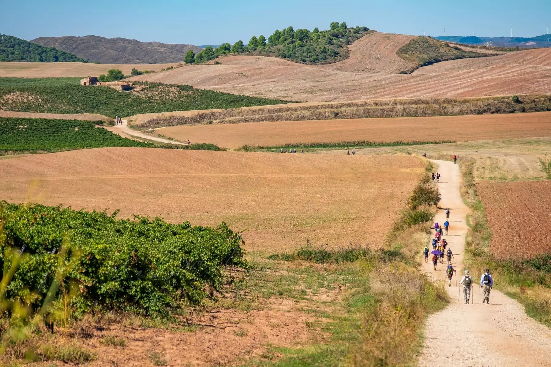
Overview of the Camino Francés route
The Camino Francés forms the continuation of the GR 65 (Via Podiensis) from Le Puy-en-Velay in France. Once you cross the Pyrenees at Saint-Jean-Pied-de-Port, the trail takes you through four distinct Spanish regions, each with its own character: the green valleys and Basque villages of Navarra, the sun-drenched vineyards of La Rioja, the vast, arid plateau of the Meseta in Castilla y León, and the lush, rain-washed hills of Galicia.
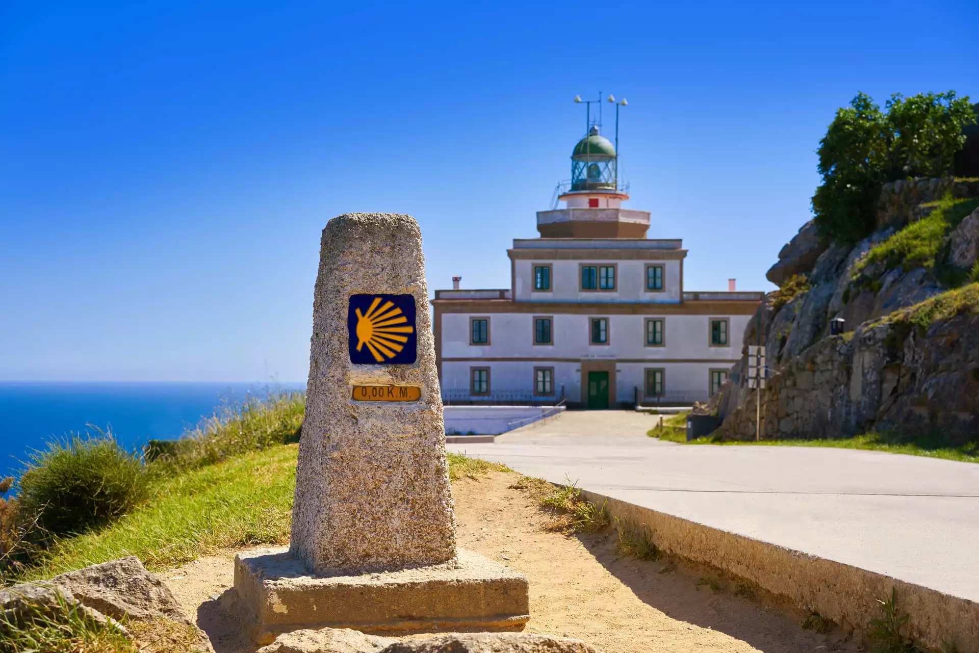
Along the way, the route passes through picturesque villages, historic monuments and welcoming communities. Every year, walkers from around the world gather on this trail, and the camaraderie among fellow pilgrims is one of the defining experiences of the Camino. If you are not ready to stop walking when you reach Santiago, the journey can continue to Cape Fisterra, known as "the end of the world", on the Atlantic coast.
Camino Francés stages
Saint-Jean-Pied-de-Port to Logroño
The opening section of the Camino Francés takes you over the Pyrenees and into Spain. The climb to Roncesvalles is one of the defining moments of the entire pilgrimage. From there, the trail crosses the Basque Country and Navarra, passing through the historic city of Pamplona and the beautiful bridge town of Puente la Reina, before reaching Logroño at the gateway to La Rioja.
| From | To | Distance |
|---|---|---|
| Saint-Jean-Pied-de-Port | Roncesvalles | 26 km |
| Roncesvalles | Zubiri | 22 km |
| Zubiri | Pamplona | 21 km |
| Pamplona | Puente la Reina | 24 km |
| Puente la Reina | Estella | 23 km |
| Estella | Los Arcos | 21 km |
| Los Arcos | Logroño | 28 km |
Total Distance : 144 km
For tailor-made stages: Viscarret, Larrasoaña, Lorca, Viana.
Logroño to Burgos
From Logroño to Burgos, the Camino Francés crosses the agricultural plateaux and open plains of La Rioja and northern Castilla. Do not miss the regional specialities that await you along the way as the trail climbs gently, and take time to appreciate the architectural treasures of towns like Santo Domingo de la Calzada and Belorado.
| From | To | Distance |
|---|---|---|
| Logroño | Nájera | 28 km |
| Nájera | Santo Domingo de la Calzada | 22 km |
| Santo Domingo de la Calzada | Belorado | 26 km |
| Belorado | San Juan de Ortega | 23 km |
| Atapuerca | Burgos | 20 km |
Distance Totale : 119 km
For tailor-made stages: Navarrete, Villamayor del Río, Villafranca Montes de Oca.
Burgos to León
The Camino Francés continues between Burgos and León across the Meseta, the vast central plateau of Spain. With very little elevation change, this section is rich in history: during the Middle Ages, this was the frontier between the Muslim and Christian worlds. The Meseta is defined by great dry, stony plateaux stretching to the horizon, offering pilgrims an experience of solitude and reflection that many consider the spiritual heart of the Camino.
| From | To | Distance |
|---|---|---|
| Rabe de las Calzadas | Castrojeriz | 28 km |
| Castrojeriz | Frómista | 26 km |
| Frómista | Carrión de los Condes | 22 km |
| Carrión de los Condes | Terradillos de los Templarios | 26 km |
| Terradillos de los Templarios | Burgo Ranero | 30 km |
| Burgo Ranero | Mansilla de las Mulas | 21 km |
| Mansilla de las Mulas | León | 19 km |
Distance Totale : 172 km
For tailor-made stages: Hornillos, Boadilla del Camino, Villarmentero de Campos, Calzadilla de la Cueza, Sahagún.
León to Sarria
From the beautiful city of León, the Camino Francés leads towards more varied terrain. You pass through Astorga with its Gaudí-designed bishop's palace, climb to the Cruz de Ferro (the highest point on the route at 1,504 m), descend to the Templar castle of Ponferrada, and then make the famous ascent to O Cebreiro, the gateway to Galicia. This section is widely considered one of the most memorable on the entire Camino.
| From | To | Distance |
|---|---|---|
| León | Hospital de Órbigo | 35 km |
| Hospital de Órbigo | Astorga | 17 km |
| Astorga | Rabanal del Camino | 20 km |
| Rabanal del Camino | Ponferrada | 30 km |
| Ponferrada | Villafranca del Bierzo | 25 km |
| Villafranca del Bierzo | O Cebreiro | 27 km |
| O Cebreiro | Triacastela | 23 km |
| Triacastela | Sarria | 18 km |
Total Distance : 195 km
For tailor-made stages: Oncina de la Valdoncina, El Acebo, Cacabelos, Ambasmestas.
Sarria to Santiago de Compostela
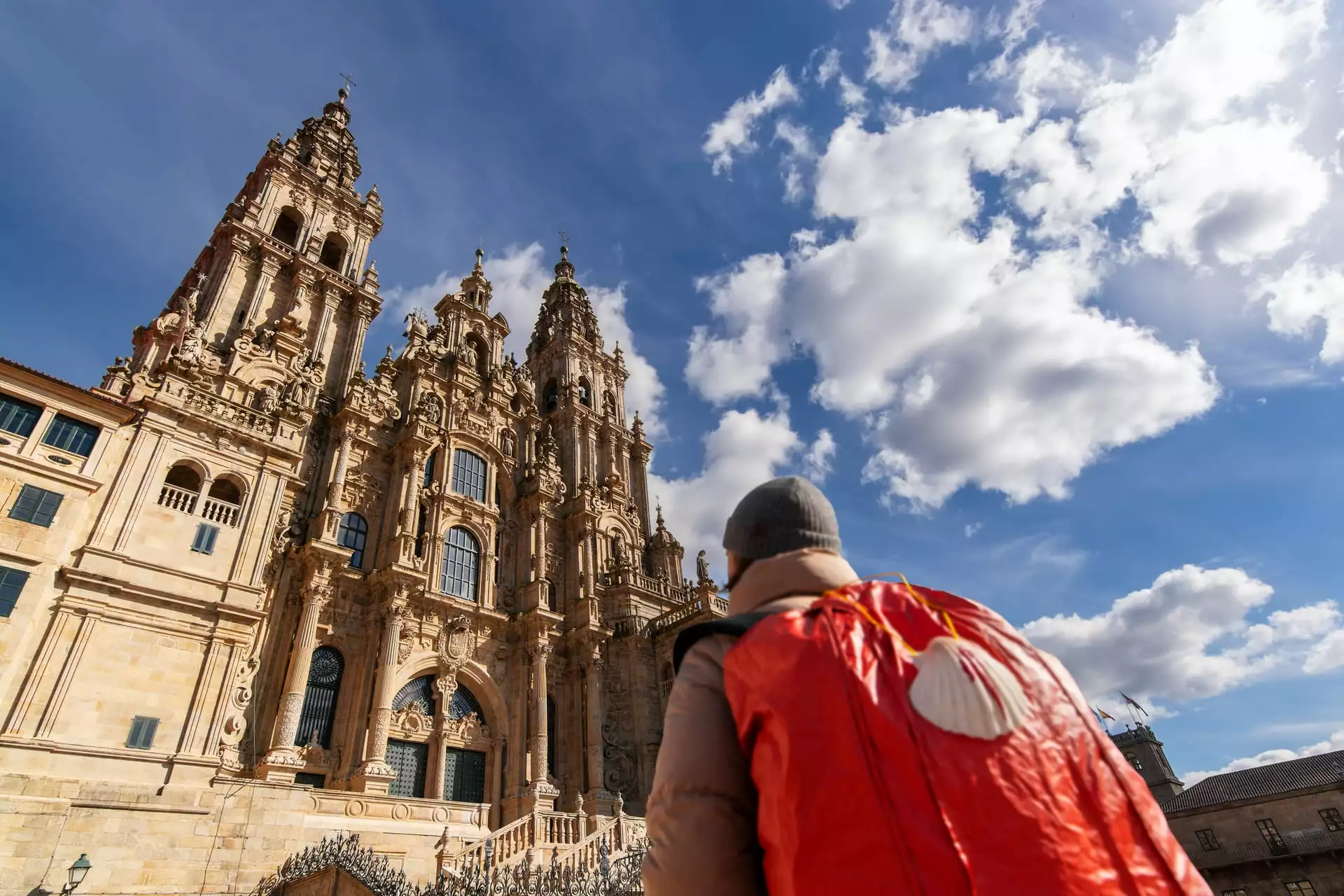
The final section of the Camino Francés covers the last 118 kilometres through the green hills and eucalyptus forests of Galicia. Sarria is the most popular starting point for walkers who wish to complete the minimum 100 kilometres required to receive the Compostela certificate. The trail passes through traditional Galician villages with their stone walls and hórreos (raised granaries), building anticipation stage by stage until the towers of the cathedral of Santiago de Compostela come into view.
| From | To | Distance |
|---|---|---|
| Sarria | Portomarín | 23 km |
| Portomarín | Palas de Rei | 25 km |
| Palas de Rei | Arzúa | 29 km |
| Arzúa | Lavacolla | 29 km |
| Lavacolla | Santiago de Compostela | 12 km |
Total Distance : 118 km
Pour des étapes sur-mesure : Lestedo, Melide, A Rua.
Tips for planning your walk on the Camino Francés
Best time to go
You can walk the Camino Francés on any date you choose between April and October. Here are a few seasonal tips:
- In April, the trail is quiet, making it ideal for those seeking a calm and peaceful environment. However, you should expect some cool days and occasional rain.
- The months of May, June, September and early October are often considered the most pleasant: mild temperatures, superb landscapes and quieter trails.
- In July and August, the trail is busier and some stages can be very crowded, while the heat can be intense in the central sections, particularly across the Meseta.
For the best combination of climate, tranquillity and comfort, May, June and September remain the most recommended months.
The most challenging stages
- Saint-Jean-Pied-de-Port to Roncesvalles (26 km): the Pyrenees crossing involves significant elevation gain, but the panoramic views from the mountain passes are magnificent.
- Rabanal del Camino to Ponferrada (30 km): you reach the highest point on the Camino at the Cruz de Ferro (1,504 m), followed by a long, stony descent to Ponferrada.
- Villafranca del Bierzo to O Cebreiro (27 km): one of the most famous climbs on the Camino, with 700 m of elevation gain in the final section.
- O Cebreiro to Triacastela (23 km): this stage alternates steep climbs and descents, with a passage above 1,300 m altitude.
Our favourite stages
- Saint-Jean-Pied-de-Port to Roncesvalles: the spectacular panorama of the Pyrenees crossing, with forests, meadows and breathtaking views.
- Logroño to Nájera: this stage crosses the celebrated vineyards of La Rioja. The rolling landscapes, golden fields and small wine-producing villages create a unique atmosphere.
- Burgos to Castrojeriz: the gateway to the Meseta, where the vast open horizon stretches before you.
- Sarria to Portomarín: an emblematic stage in Galicia, with trails bordered by stone walls, eucalyptus forests and traditional villages.
With Walks in France, your accommodation is booked in advance, your luggage is transferred between each stage, and you receive a detailed route book with maps and directions. We organise self-guided walking holidays on every section of the Camino Francés, and we can create a tailor-made itinerary adapted to your pace and schedule. Whether you walk the full 800 kilometres or just one section, we handle the logistics so you can focus on the trail.
You can also walk the French pilgrimage routes that lead to Saint-Jean-Pied-de-Port, including the Way of St James in France (Via Podiensis) and the other Camino de Santiago routes we offer.
Why choose Walks in France ?
Specialist in compostela stays
35 years of experience
An human-scale agency
No baggage to wear
Quality accomodation
Taylor-made stays